
Occasionally my friend, Bruce Shah, and I just hop in the car and see what we can find out in the rural reaches of New Mexico.
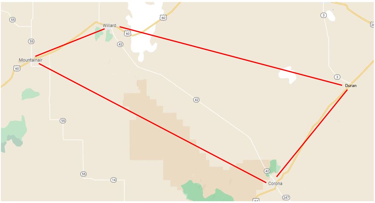
Back in April we lit out for an area in east-central New Mexico bounded by Mountainair, Willard, Duran, and Corona, primarily along NM highway 42 (southeast of Albuquerque; see map below).
Our first stop was Mountainair Cemetery, about a mile west of town, which neither of us had visited previously and wasn't easy to find (not on a main road). Similar to many rural New Mexico cemeteries, it held a few interesting gravesites and memorials:


Then we headed east to Willard (where we had photographed its cemetery on an earlier trip -- click here to see images from that one), and turned southeast onto NM 42.
About where that little "42" symbol is in the middle of the map above we found what's left of a town called Cedarvale, a farming community founded in 1908. The town basically emptied out during the Depression, but before it disappeared, the WPA built a school that's still there (now abandoned).


At the Cedarvale school we left Highway 42 and drove northeast along unpaved county roads to find the now-overgrown Cedarvale Cemetery . . .

. . . and the still-tended Pinos Wells Cemetery (which my friend, Alan Postelnek, and I visited a few years ago) out in the grassy, relatively treeless ranchlands.


As you might be able to tell from the flag, the wind was blowing about 30-40 mph. That made it a good day for the wind turbine farms in the area . . .

. . . but it also meant dust was blowing everywhere:


 |
| Photo courtesy of J.M. House's blog, "City of Dust" |


No comments:
Post a Comment