
A few weeks after our January visit to the snow-covered Black Place in northwest New Mexico, a photo buddy and I made another visit -- this time to explore the mesa surrounding the Black Place, and to see how the valley and its strange features looked from above.
The mesa is about 150 feet above the valley floor, and stretches for over a mile. The hillock features that we photographed on the previous visit emerge from the side of the mesa through erosion.

To get to the top of the mesa, we had to climb up a steep man-made path up the side of the mesa that was created for natural gas pipelines. Going up, the ground was frozen, so the footing was good; not so on the way back down (about which, more below).


The top of the mesa was what you'd expect -- a vast expanse of dirt, grass, and scrub.

And on the far side of the mesa, there was another huge range of hillocks and canyons, even larger than the ones we had explored at our starting point.


We didn't have time to explore the other side -- an adventure for another trip -- so we walked along the edge of the mesa looking down at the valley we had come from.

From above, many of the hillocks are not black at all . . .

but others have a darker layer on top . . .

and some are more thoroughly dark, depending on the angle of the light . . .


I mentioned how the strange-looking hillocks are actually multiple layers of volcanic dust that were later covered by other layers of harder sedimentary rock like shale. The top of the mesa is caprock, and the edge of the mesa is where the caprock has eroded to expose the dust layer.
The erosion continues to this day. You can see it at the eastern end of the valley of hills, where the erosion of the upper layers is still occurring. Notice in the image below how the softer layers underneath are undercutting the top layer:

When the softer lower layer gives way, the harder caprock tumbles down:

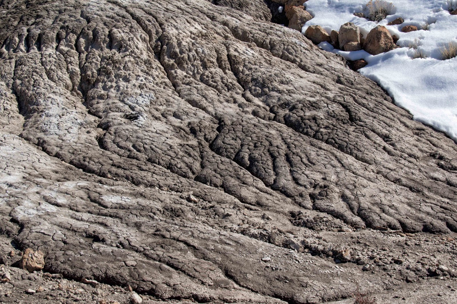
Note that this a view looking down, not horizontal. And also note the dark shale rock in the lower right corner of this photo and in the upper center of the image above it. Because this rock is harder, it will protect the layers of rock and dust below it from erosion and may become a hoodoo like these:


Eventually, of course, the softer dust below the caprock will erode, leaving the harder rocks stranded on the dusty hills, like this:

or like this one all the way down in the valley that I photographed on our previous visit:

After a couple of hours of hiking along the edge of the mesa, we had hoped to find an easy route back down into the valley. But there were none, so we backtracked to the pipeline. By now the temperature had risen above freezing, and the frozen dust was now very slippery mud.
So we each grabbed a couple of old survey stakes to use as hiking poles . . .

. . . and very slowly began to make our way down the steep, muddy slope.

The mud did a real number on our shoes, but we made it safely down without sitting in it:

Whether up on the mesa or down in the valley, it's the volcanic dust layer that is the most interesting to me visually. It's like frozen mud, but very fragile -- it crumbles at the touch:


Back in the valley, we walked in the fantastic landscape of the hills:


And wondered at the delicate streams of water flowing from melting snow:


One last look back toward the mesa, then we headed for home:


If you would like to see these images (and more) in a larger format, please visit my photography website, Todos Juntos Photography, by clicking here.
Enjoy!